- L.DelsingWhat type of grid system was in use by the US forces during the Vietnam war?
At the moment here in the NLD we use MGRS WGS-84 and before that ED-50 system. A grid taken from an ED50 map was not on the same spot on a WGS-84 map. But I can not imagine that the European Date System 50 was used in Vietnam.
I have a book named ''Vietnam above the treetops'' which has some coordinates I want to look up.
- C_Sherman- L.DelsingWhat type of grid system was in use by the US forces during the Vietnam war?
At the moment here in the NLD we use MGRS WGS-84 and before that ED-50 system. A grid taken from an ED50 map was not on the same spot on a WGS-84 map. But I can not imagine that the European Date System 50 was used in Vietnam.
I have a book named ''Vietnam above the treetops'' which has some coordinates I want to look up.
I'm not sure that there was a universally recognized grid covering the Indochina area, back then. It would certainly be in the margin notes of any of the mapsheets Doug discusses, but I wouldn't be surprised of there wasn't anything more than a locally recognized grid base. That was before GPS and a good deal of the earth's surface was still subject to on-the-ground surveying.
- DontosDoug
He recently emailed me the LZ XRay AAR that is quite an interesting read, especially when compared to the movie 'We Were Soldiers'.
Regards
Don
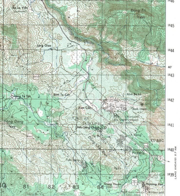
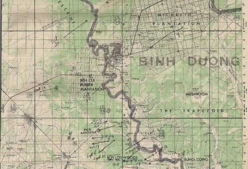
- L.DelsingThat is a very nice map, in that way I can see what the terrain features are and get an idea how the terrain looks!
Thanks!!!
It is a very interesting chapter in recent history. I've been in HCM city, Bien Hoa, Phan Tiet and there was still a lot to see, old hospital markings on building in HCM city. Guard towers at Bien Hoa. The old C-130, C-123, chinooks at the airfield of HCM city. In one of the museums there were Kar 98 rifles with waffen ambt markings which were supplied by the USSR and used by the Vietnamese in the war over there.
My interest in COIN was renewed when I had to go to a certain sandbox.
Regards,
Lesley
- L.DelsingIn one of the museums there were Kar 98 rifles with waffen ambt markings which were supplied by the USSR and used by the Vietnamese in the war over there.
Regards,
Lesley
All times are GMT - 6 Hours